Drone Imaging for Commercial Roof Inspections in Quincy, MA
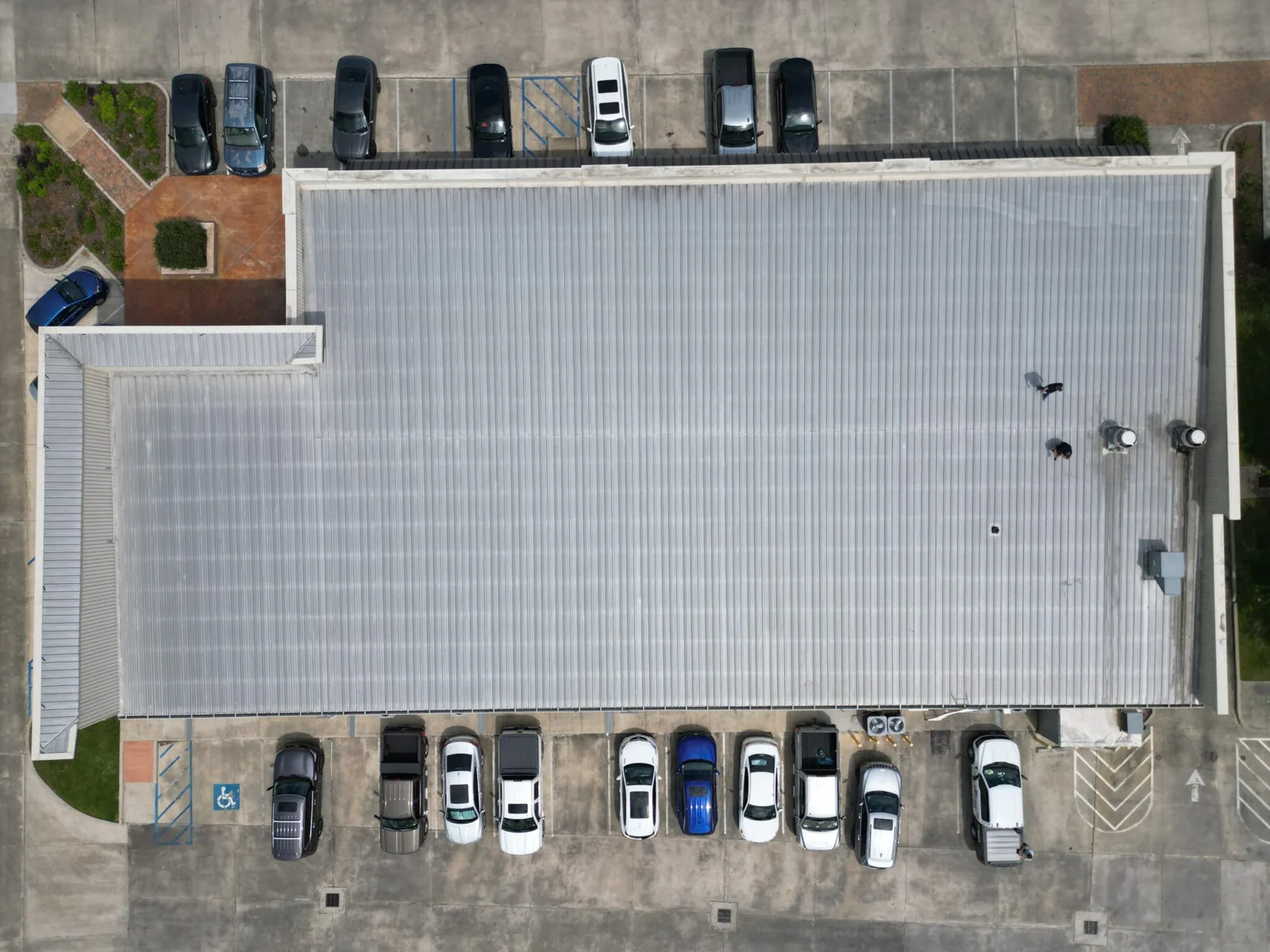
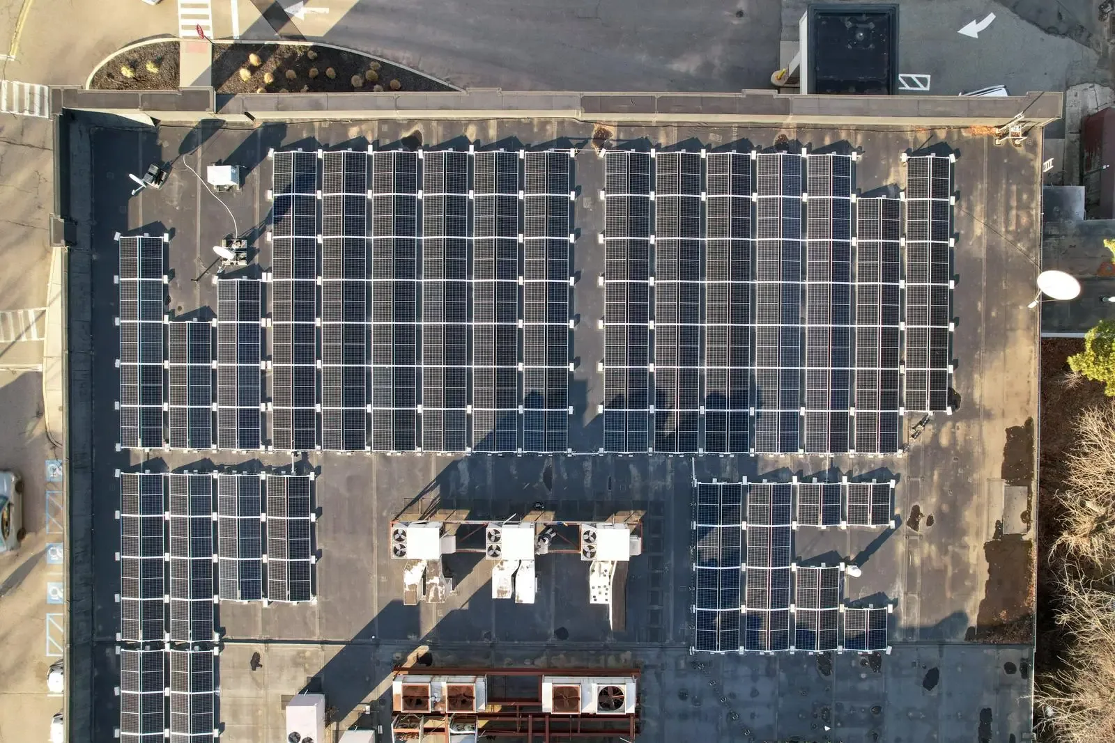
A roof emerging from snow cover can show drainage patterns that are difficult to compare from a single access point. In Quincy, MA, drone imaging gives the asset manager an overhead view of roof levels, residual wet areas and visible damage before choosing where closer inspection should begin. We plan the flight for a useful view of the property. The result should help locate the next physical check, particularly where equipment or height differences obscure the roof from a conventional approach.
Commercial Roofing Quincy uses drone imagery to supplement commercial roof assessments. We compare visible surface conditions, identify roof-area relationships and record details that warrant closer access. Aerial images can clarify the extent of displaced material or the position of a drainage restriction, while inspection at the actual connection establishes the condition that a distant view cannot resolve.
Define the flight question
An overhead survey should begin with a decision the image can help make. The manager may need to locate roof areas affected by a storm, compare the footprint of visible ponding or identify access to a high transition. We establish that objective and the views needed to answer it. General footage of the building may be attractive but offers little help if the relevant drain, curb or roof junction remains too distant to examine.
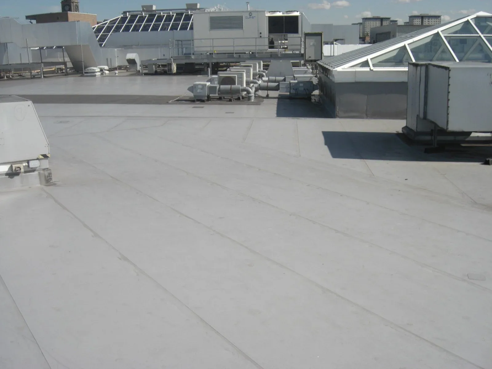
We consider roof levels, mechanical obstructions and adjoining properties when planning the coverage. A lower roof may receive runoff from an upper section that is hidden from the usual roof hatch. The imaging should show that relationship clearly enough to guide the inspection route. Where the question involves a concealed seam, moisture beneath insulation or deck condition, we identify the additional method required. That keeps the drone survey focused on a task it can perform well.
Choose a readable surface
Snow can conceal punctures and open seams, while glare from a wet membrane can obscure smaller surface details. Wind affects both safe flight and the stability of the image. We evaluate those conditions before choosing a flight window. A survey conducted at the wrong time can leave the manager with an incomplete view even if the camera captures the whole building. Flight timing should serve the roof question.
Quincy’s winter-storm and hurricane preparedness provides a practical reason to plan post-weather assessments. We look for exposed insulation, displaced metal, loose covering and unusual water retention once a safe, interpretable view is possible. Investigation after severe wind and rain may combine aerial coverage with roof access to examine attachment. A snow-covered roof can sometimes be mapped for access planning, but the concealed surface still needs assessment after the cover has cleared.
Read shape and position
A broad image can reveal the relationship between a depressed field, an outlet and an equipment curb. Closer images may show debris, displaced flashing or a visibly damaged surface. We locate those observations on the roof-area drawing so the manager can connect them with the affected interior or planned work. Apparent scale and perspective need care. A camera angle that compresses distance can make a detail look closer to an outlet than it is.
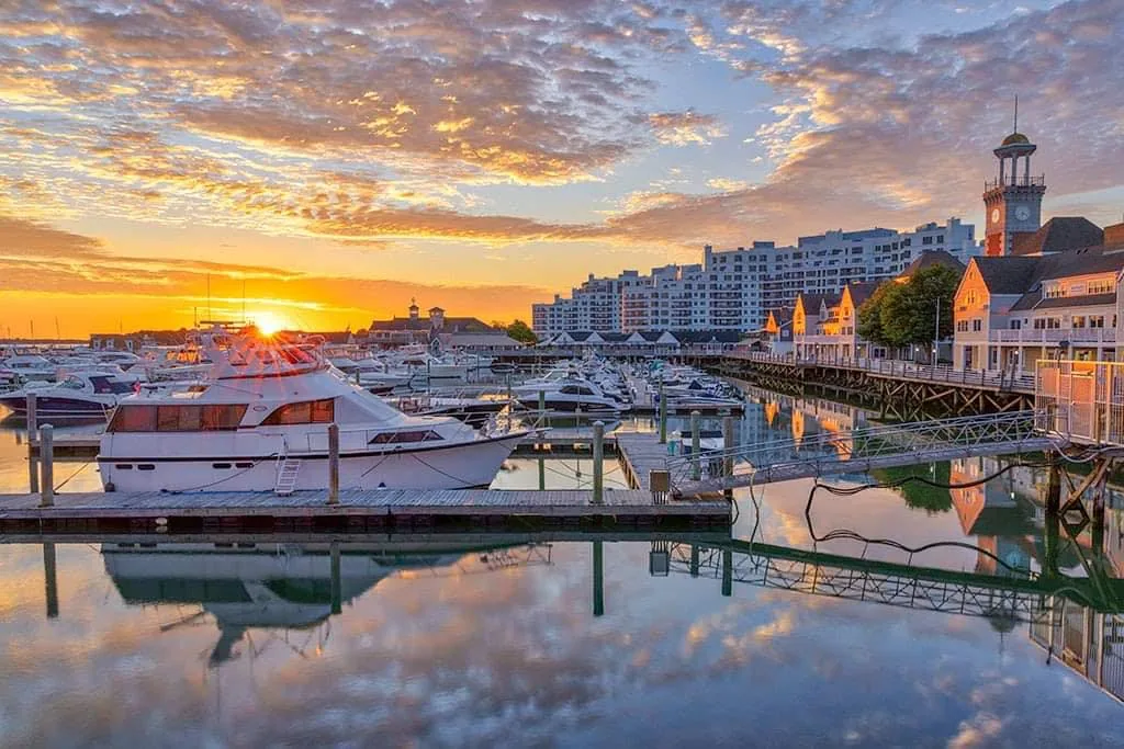
For an asset in Marina Bay, mixed-use properties can combine office, dining and residential operations. An overhead map can help coordinate which occupied areas lie beneath separate roof levels without requiring everyone involved to reach each section first. We retain the relevant views for the condition assessment and identify where measurements or direct access are needed. The image should support a construction decision, not replace dimensions required for design or ordering.
Turn observations into access
A suspect area becomes useful only when the next action is identified. A visible open seam needs closer examination of the adjoining material; a ponding pattern may call for outlet inspection and elevation measurements. We prioritize access based on the physical observation and the operating exposure below it. That sequence can avoid sending a crew across every area before the manager knows which details deserve immediate attention.
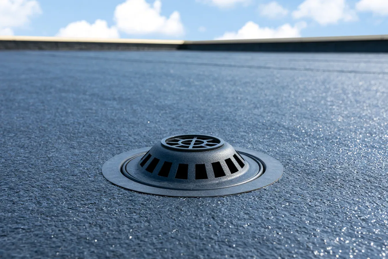
Closer examination of drain connections can distinguish debris at an outlet from a geometry issue farther away. Where surface evidence raises a moisture concern, thermal investigation with confirmation checks provides a different kind of information. Standard drone photographs and an infrared survey are separate methods. We select the follow-up for the defect suspected rather than assuming all camera work establishes the same condition.
Plan the ground area
A flight requires suitable launch and landing space, attention to people nearby and compliance with applicable aviation requirements. Site arrangements can affect whether the survey is practical at the proposed time. We coordinate with the property contact on the operating area and avoid interfering with entrances, traffic or ongoing work. Safety controls need to cover the ground as well as the roof being photographed.
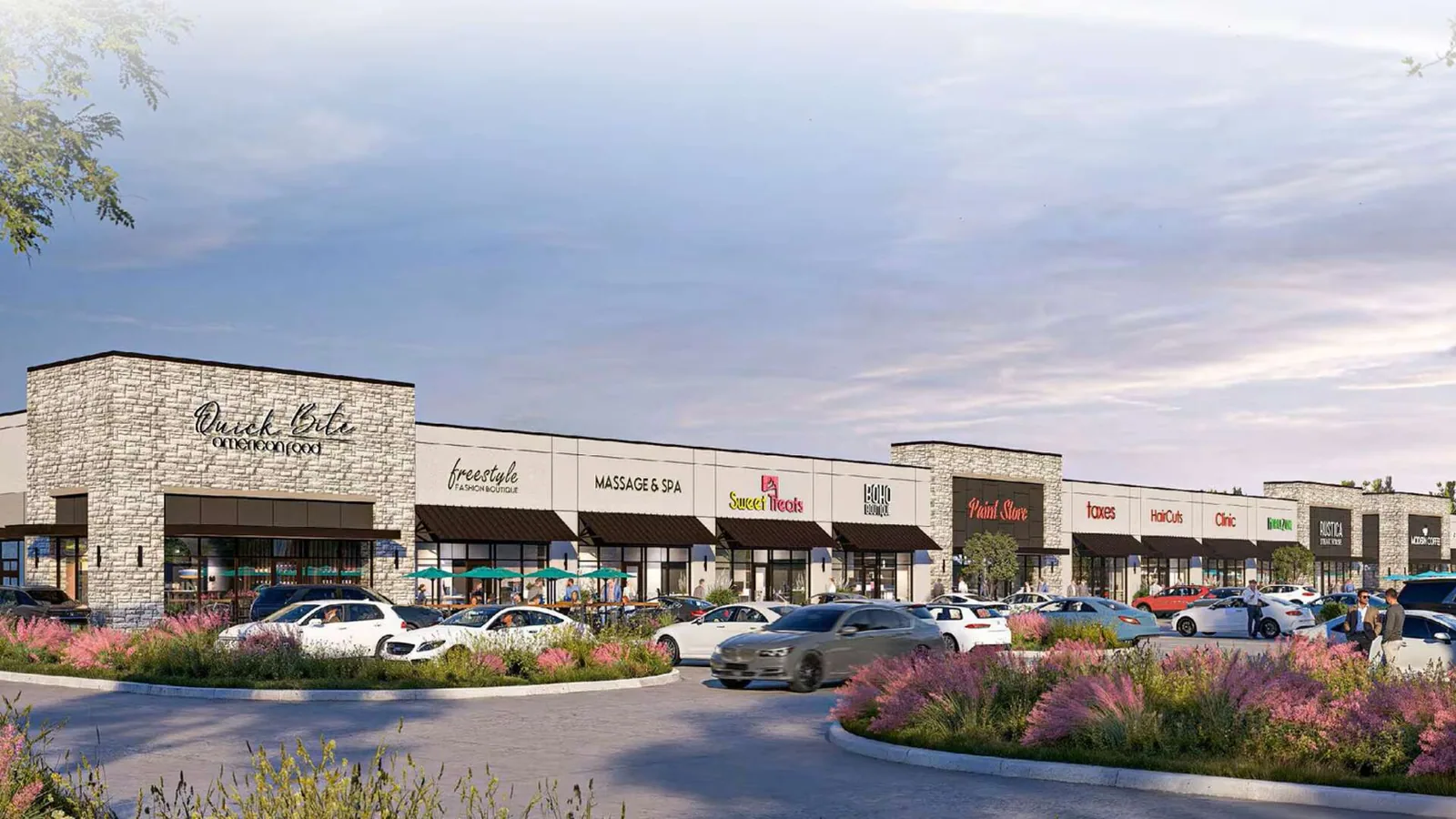
Braintree’s building stock includes office parks, industrial parks and regional retail. At a retail property with active customer circulation, the ground operation may need a quieter work window or another suitable launch position. Adjacent buildings and rooftop equipment can also limit views. We describe any omitted area and the alternative access required. A property survey should account for those restrictions before an image gap becomes an assumption that a roof section is in good condition.
Preserve the comparable view
A later flight can help show whether a visible condition has changed, provided the camera position, roof-area identification and surface conditions are sufficiently comparable. We retain images that locate the detail as well as show it closely. A different angle or residual snow cover can change its appearance without representing deterioration. The condition comparison should take those differences into account before the manager escalates a repair or postpones further investigation.
Inspection findings linked to roof-area images make the survey usable for maintenance planning and construction coordination. We separate the visible observations from the hands-on findings and proposed work. This is especially useful when several properties are being assessed: the manager can see which conclusions rest on direct examination and which areas still require access. The imagery becomes a practical part of the assessment instead of a stand-alone collection of photographs.
Commercial Roofing Questions
Can the drone identify a loose seam beside an inaccessible unit?
A sufficiently clear image may show a visible opening or displaced material, but the seam’s bond needs appropriate physical examination. We use the image to locate the detail and plan access around the unit. If equipment prevents a useful view, the survey should identify that omission. Repair decisions should follow confirmation of the connection and adjoining substrate.
Would an aerial view help us rank storm damage across buildings?
Overhead coverage can compare visible displaced material, affected roof areas and drainage exposure, which helps prioritize closer inspection. We consider the operating use beneath each area as well. Images do not establish concealed moisture or attachment strength. The initial ranking should therefore identify urgent visible exposure and the follow-up needed before a permanent scope is set.
What does a roof manager receive besides video footage?
We identify relevant roof areas and provide images tied to condition observations and next actions. The useful selection includes enough context to locate a detail and enough clarity to understand why it needs inspection. Coverage limits should be recorded as well. Those items support maintenance coordination more directly than unlabelled footage of a building from several angles.
Can we survey during a busy retail trading day?
A suitable ground operating area and safe flight arrangement determine feasibility. We coordinate launch, landing and nearby circulation with the manager, then select a time that permits useful coverage without interfering with customers or site work. Some properties need another window or closer conventional access instead. The survey objective and safety arrangement should be settled before mobilization.